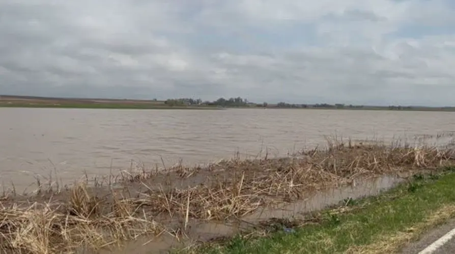
PLATTE CENTER, Neb. -- With portions of Nebraska dealing with Friday morning flooding, it appears more may be on the way.

Access to Platte Center and Columbus remains limited, with Highway 81 still closed from Highway 91 to Highway 22 due to flooding.

Platte County and Madison County remain under a flood warning until Saturday evening.

Chances for showers and thunderstorms are expected to continue on into Friday and the weekend, and there will be the potential for some storms to be strong to severe. The best chances for strong to severe storms currently are in the mid to late afternoon and evening hours.

Gusty south to southeasterly winds are expected to develop in the early afternoon, ahead of an approaching cold front, which will then bring a switch in winds to the northwest later today. Gusts near 30 MPH will be possible.

The start of the weekend will bring plenty of clouds and continued chances for showers. Strong northwesterly winds are expected for Saturday, especially across the western half of the area. A High Wind Warning is in effect for portions of the area along and west of Highway 281, where gusts near 60 MPH will be possible.

Highs on Saturday will be notably cooler, in the low 50s to mid 60s. Dry weather returns for Sunday, with partly cloudy skies and highs in the 60s to near 70. Another chance for precipitation returns for Monday, with even cooler highs in the 40s and 50s.